 By
By 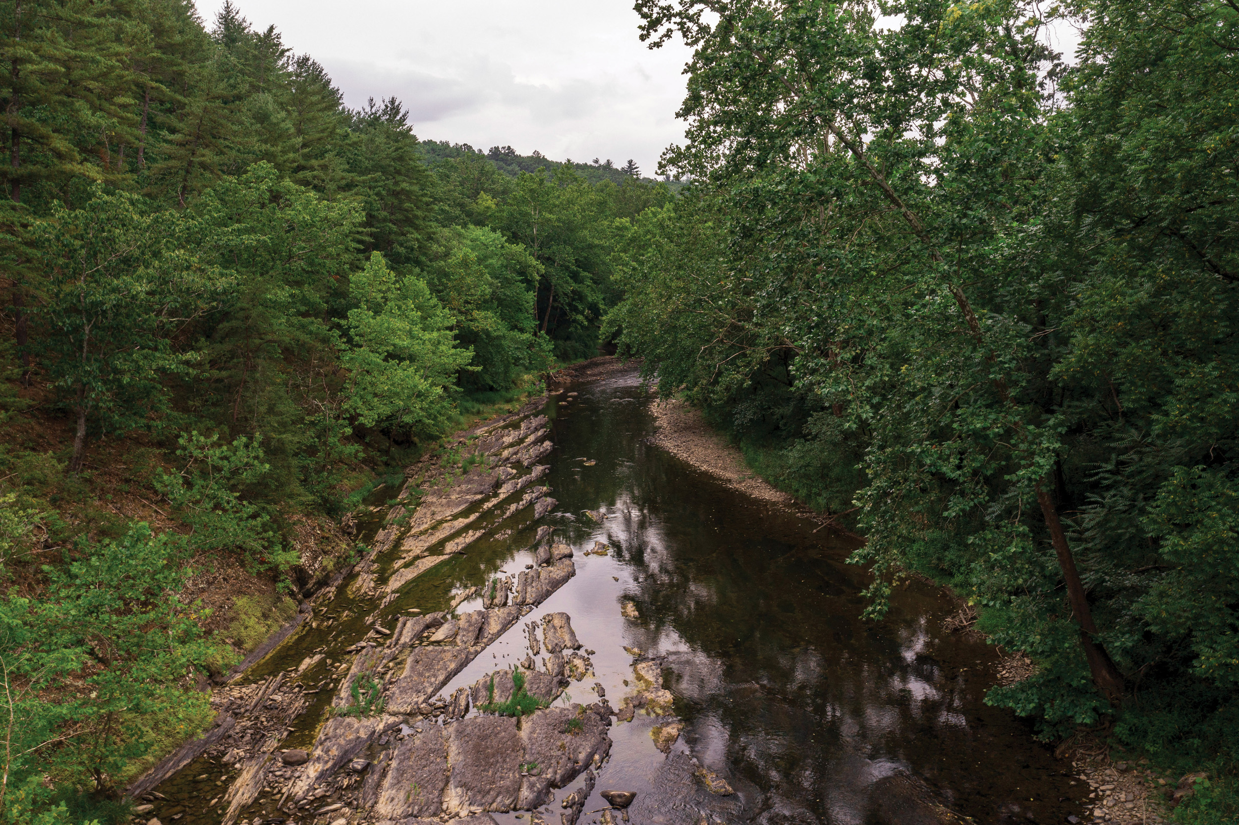
A century ago, the Cacapon River was essentially dead. Today it’s one of the cleanest rivers in West Virginia—and the people who love it intend to keep it that way.
This story was originally published in the August / September 2026 issue of Wonderful West Virginia.
Subscribe here.
Written by Mason Jack
Photographed by Tyler Evert
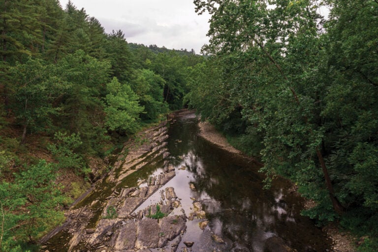
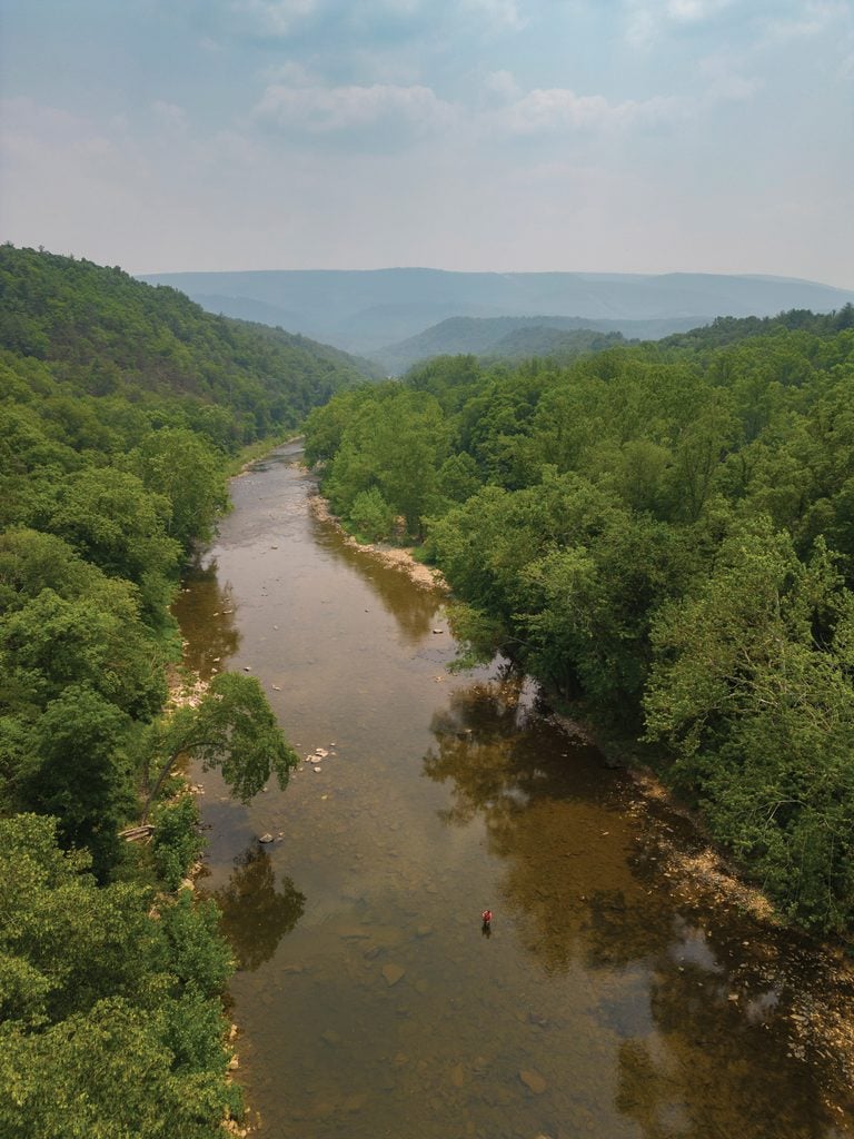
Spend a morning floating the Cacapon River, and you can go hours without seeing another person. Jim Ott would know. He’s a biologist, a board member with Friends of the Cacapon River (FCR), and a guy who’s logged more hours on this river than just about anybody. “I float a lot, and I almost never see anyone,” Ott says. “You can have it all to yourself—big views, iconic scenery, real nice water action, strong currents. It’s pretty spectacular.”
Which makes it hard to picture what Ott describes next: A little over a century ago, this same river was, in his words, essentially dead.
History Flows
The Cacapon, pronounced kuh-KAY-pon, runs about 80 miles through the mountains and valleys of the state’s Eastern Panhandle before it joins the Potomac River at a wide spot called Great Cacapon. The name comes from a Shawnee word for “medicine waters,” after the mineral springs that have pulled people here for generations. But the Cacapon is only part of the story. The river starts its life as the Lost River, which earns its name honestly: It vanishes underground at the Lost River Sinks, then surfaces miles downstream near Wardensville and picks up the name Cacapon.
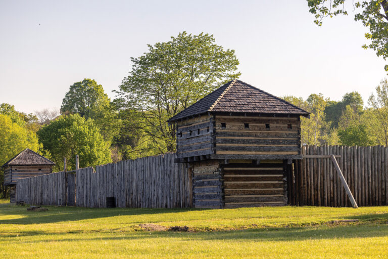
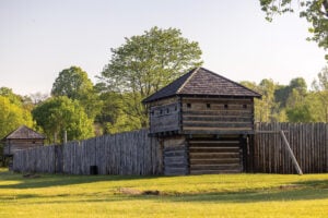
The history here runs deep. George Washington surveyed these lands in the 1740s, and the valley became a bloody frontier during the French and Indian War, when Washington ordered a string of forts built along the water. One of them, Fort Edwards, was built at what’s now the town of Capon Bridge.
By 1900, though, the river had been put to hard work. Headed west through town just barely out of the floodplain, a cluster of homes still known as “tannery row” marks where the leather trade once turned the Cacapon into an industrial conveyor belt. “They’d float logs down, skin the bark off, and use the tannic acid to tan leather,” Ott explains.
Downstream at Paw Paw, where the river joins the Potomac, stood what was once the largest producer of industrial belt leather in the world. Hides were soaked in pits of lime and tannin liquor, and the spent residue—lime, hair, flesh, and acid—drained into the river. The damage came in two forms: The bark trade clear-cut the forest that shaded and filtered the river, so the water ran warmer and dirtier, thick with sediment from erosion. And the tannery waste fouled what was left, pulling oxygen from the water and taking the fish and aquatic life with it. A waterway prized today for its smallmouth bass had become, for a stretch, an industrial drain. “According to the documents I’ve looked at, the river was essentially dead at that point.” Then he sums up everything that’s happened since in a single phrase: “A remarkable resurgence.”
What ultimately saved the Cacapon was partly that the industry died. As the tanbark forests gave out and new technology arose, the tanneries closed one by one, and the bark-stripping stopped. The forest grew back. Today roughly 80% of the watershed is wooded again, and that returning cover cooled the water, anchored the banks, and filtered the runoff. Modern water-quality laws finished what the forest started, and grassroots work picked up the rest. It took the better part of a century, but the Cacapon River came back to life.
A New Start
Kate Pacelli came to FCR the way a lot of people around here do: She fell for the river first and, second, got to work. “I’ve been an avid kayaker my whole life,” says Pacelli, now the group’s executive director. “I live on the Cacapon, raised our family here, and we love it. I just wanted to take part in protecting it.”
Despite her deep affection for the river, she doesn’t overly romanticize it. Ask her how the river is doing, and you get a clear-eyed answer rather than a brochure. “It can always get better, and it varies section by section,” she says. “But for the most part, it’s a clean river. Some of our tributaries are strongholds for brook trout—they need really cold water, so they’re a good indicator species.”
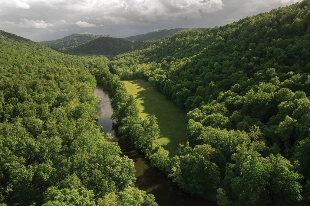
The organization has contributed to years of water-quality data across the basin, tracking E. coli, nitrogen, and phosphorus. “By and large, it’s one of the cleanest rivers in the state. There are vast areas where I’d call the health exceptional,” Ott says. Still, the Cacapon isn’t immune to the pressures any river faces, like more nutrients, fewer trees, creeping development, and a sediment load that spikes after big storms. He admits, “That’s a little concerning after large rain events.”
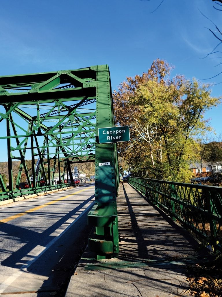
If the Cacapon River has a hometown, it’s Capon Bridge. A town of fewer than 500 people in Hampshire County, just west of Winchester, Virginia, it claims two-lane U.S. Route 50 as its Main Street and wears its nickname Gateway to the Mountains with pride. The river crosses right through the middle of town, and folks fish, swim, and float under the Route 50 truss bridge that’s been the local landmark since 1933. Another bridge a few miles upriver, the 1874 Capon Lake Whipple Truss Bridge, stands today as the oldest metal truss bridge left in the state.
For most visitors, the draw is uncomplicated. “Kayaking, tubing, fishing—it’s basically a recreation industry,” Pacelli says. “The cleanliness of the water is a huge part of it. We get messages all the time asking if it’s clean.”
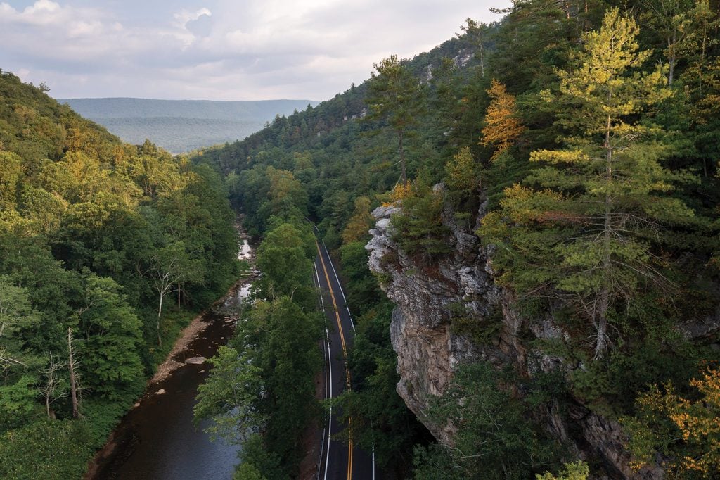
Most of the surrounding land is forested, which has a lot to do with why the river is as healthy as it is. But local stewardship plays a big role, too. “There’s an outstanding display of public pride in the river,” Ott says. “It’s a hard river to find plastic bags or beer cans in. People take pride in it, and they take care of their little sections.” The West Virginia Division of Natural Resources maintains public access points spaced every 10 or 12 miles, so anyone with a boat can find a way in. “There are sections north of Capon Bridge that are simply exquisite,” Ott continues, talking about the float downriver to the rock spires of Caudy’s Castle.
Pacelli agrees. “From Capon Bridge downriver to the Route 127 bridge, that’s a great, challenging, diverse stretch. There are big islands in the middle, big enough to pull off and have a picnic.”
A Group Effort
FCR has been preserving, protecting, and promoting the river since the 1970s, when George Constantz—who is still on the board—wrote Portrait of a River, a baseline study from a time before modern water protections existed. That work helped give rise to the Cacapon Institute, a sister organization that today handles education and water testing. FCR shares the watershed with other stewards, too, including the Cacapon & Lost Rivers Land Trust, which has partnered with local landowners to protect more than 15,000 acres and 52 miles of river in conservation easements.
Marika Suval of the Land Trust describes its role as the other half of the conservation equation. “The Land Trust protects the landscape that sustains the rivers, while partner organizations often focus on monitoring, restoring, studying, and advocating for the waters themselves,” she explains. The organization’s main tool is the conservation easement, a voluntary agreement that permanently caps development while letting landowners continue to farm, log, hunt, and fish.
That matters more every year. Roughly 85% of the watershed is privately owned, and development keeps pushing west from the Washington, D.C., suburbs. “It’s easy to overlook how closely river health is tied to what happens on the surrounding land,” Suval says. “Many people naturally focus on the river channel itself, but the condition of forests, farms, wetlands, and headwater streams determines much of the water quality.”
More than anything, what FCR brings to the table is people. “We bridge the community and the river,” Pacelli says. “It’s a community-driven approach, versus just legal advocacy or water testing. We’re really trying to get people on the river.” With more than 1,500 members and an annual River Fest that pulled in around 1,200 people last year, they’ve got the hands for it.
Their boldest move so far is a big swing on a state program called Adopt-A-Stream. “We recently adopted 64 miles of the Cacapon with a partner organization, which is an unprecedented move in the state,” Ott says. The program, run by West Virginia’s Department of Environmental Protection (WVDEP), usually sees civic groups take on a mile or less. FCR wants the whole watershed basin.
Some of the work is gritty. To date, Ott and a crew of volunteers have hauled more than 800 tires out of about 50 miles of river. “We hunt them down with about as much vigor as kids hunting Easter eggs,” he says. The organization’s work is funded in part through the Chesapeake Bay Trust and WVDEP.
Asked what they’d fix if they could wave a wand, the two land in nearly the same spot. Ott, the biologist, wants a wider ribbon of trees along the banks to cool the water and catch the sediment. Pacelli wants something even simpler. “Just to have it be everyone’s default,” she says. “If you’re on the river, take care of it. Everyone taking responsibility, everyone loving their river.”
After 125 years, that may be the surest protection the medicine waters have.

 By
By